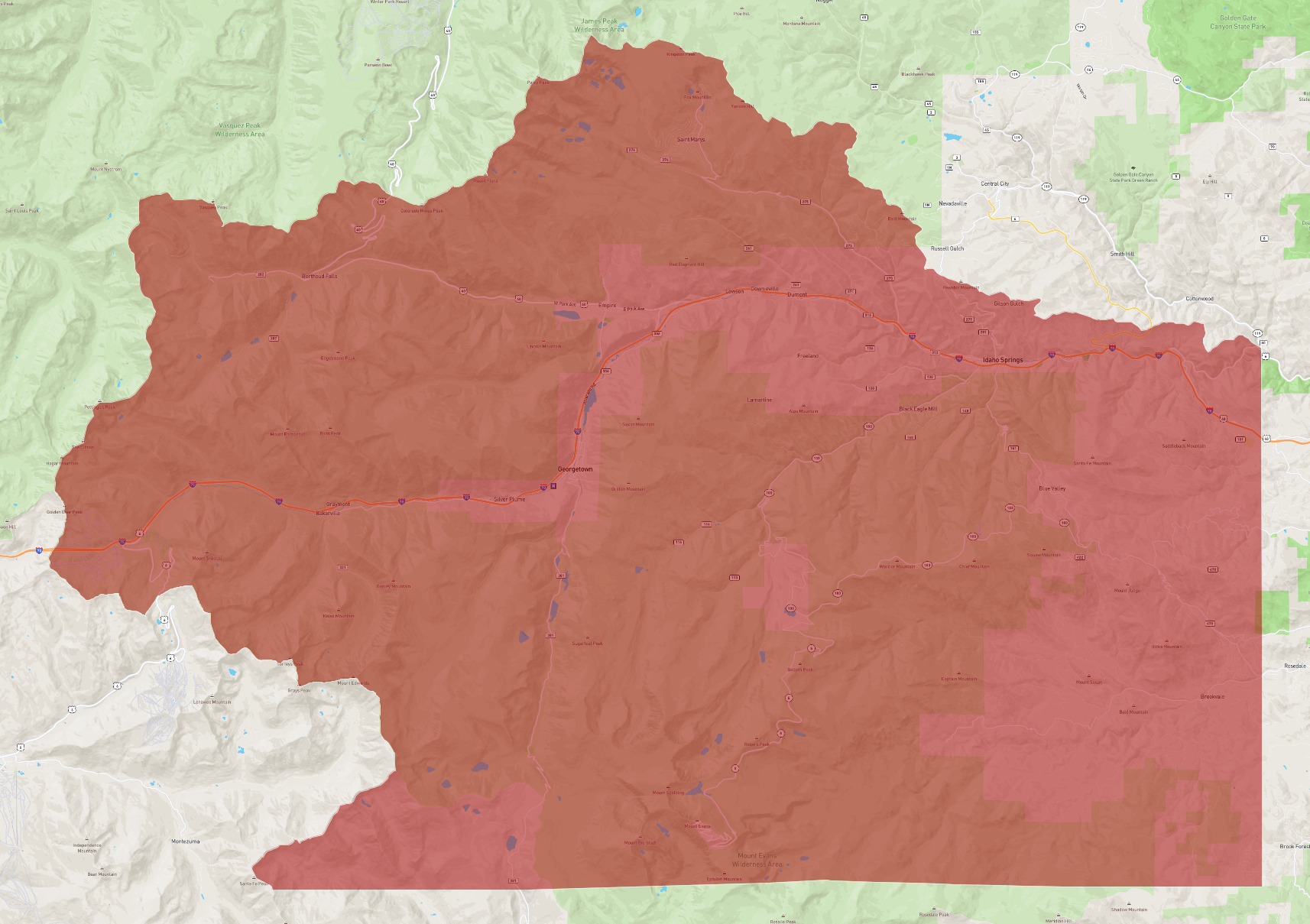
Clear Creek County is a county located in the U.S. state of Colorado. As of the 2020 census, the population was 9,397. The county seat is Georgetown.
History
Clear Creek County was one of the original 17 counties created by the Colorado legislature on November 1, 1861, and is one of only two counties (along with Gilpin) to have persisted with its original boundaries unchanged. It was named after Clear Creek, which runs down from the continental divide through the county. Idaho Springs was originally designated the county seat, but the county government was moved to Georgetown in 1867.
Geography
According to the U.S. Census Bureau, the county has a total area of 396 square miles (1,030 km2), of which 395 square miles (1,020 km2) is land and 1.3 square miles (3.4 km2) (0.3%) is water.
Adjacent counties
- Jefferson - east
- Gilpin - northeast
- Park - south
- Summit - west
- Grand - northwest
Major highways
- Interstate 70
- U.S. Highway 6
- U.S. Highway 40
- State Highway 5
- State Highway 103
- Central City Parkway
National protected areas
- Pike National Forest
- Roosevelt National Forest
- James Peak Wilderness
- Mount Evans Wilderness
Scenic trails and byways
- American Discovery Trail
- Continental Divide National Scenic Trail
- Grays Peak National Recreation Trail
- Mount Evans National Recreation Trail
- Guanella Pass Scenic Byway
- Mount Blue Sky Scenic Byway
Demographics
At the 2000 census there were 9,322 people, 4,019 households, and 2,608 families living in the county. The population density was 24 people per square mile (9.3 people/km2). There were 5,128 housing units at an average density of 13 units per square mile (5.0 units/km2). The racial makeup of the county was 96.37% White, 0.28% Black or African American, 0.73% Native American, 0.36% Asian, 0.03% Pacific Islander, 1.02% from other races, and 1.20% from two or more races. 3.87% of the population were Hispanic or Latino of any race. Of the 4,019 households 28.20% had children under the age of 18 living with them, 54.60% were married couples living together, 6.90% had a female householder with no husband present, and 35.10% were non-families. 27.20% of households were one person and 4.30% were one person aged 65 or older. The average household size was 2.31 and the average family size was 2.81.
The age distribution was 22.60% under the age of 18, 5.60% from 18 to 24, 32.60% from 25 to 44, 32.20% from 45 to 64, and 7.10% 65 or older. The median age was 40 years. For every 100 females, there were 108.80 males. For every 100 females age 18 and over, there were 110.20 males.
The median household income was $50,997 and the median family income was $61,400. Males had a median income of $41,667 versus $30,757 for females. The per capita income for the county was $28,160. About 3.00% of families and 5.40% of the population were below the poverty line, including 6.80% of those under age 18 and 5.60% of those age 65 or over
Communities
City
- Central City (partially)
- Idaho Springs
Towns
- Empire
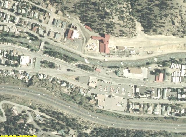
- Georgetown
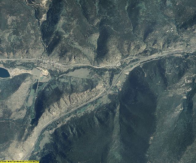
- Silver Plume
Census-designated places
- Blue Valley
- Brook Forest (partially)
- Downieville-Lawson-Dumont
- Echo Hills
- Floyd Hill
- Pine Valley
- St. Mary's
- Upper Bear Creek
- Upper Witter Gulch
Ghost towns
- Bakerville
- Silver Creek
Politics
Throughout its history, Clear Creek County tended to be somewhat divided between Republicans and Democrats, but has reliably voted Democratic in recent elections, with George W. Bush having been the most recent Republican to win the county, in 2000, while his father, George H. W. Bush, was the last Republican to win the narrow majority of the county's votes, in 1988. During the 2016 presidential election, Hillary Clinton became the first Democrat since her husband in 1996 to not win the majority of the county's vote, while still winning the county by a plurality.
Education
The county is served by Clear Creek School District RE-1.
Elementary Schools
- Carlson Elementary School (Idaho Springs)
- King-Murphy Mountain School (Evergreen)
Middle School
- Clear Creek Middle School (Idaho Springs)
High School
- Clear Creek High School (Evergreen)
Charter School
- Georgetown Community School (Georgetown)
Historic areas
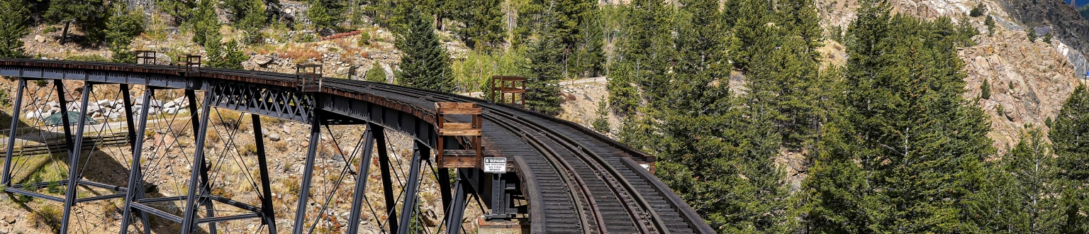
- Georgetown Loop Historic Mining & Railroad Park
- Georgetown–Silver Plume National Historic District
Ski areas
- Echo Mountain
- Loveland
- Otter Mountain
See also
- Bibliography of Colorado
- Geography of Colorado
- History of Colorado
- Arapahoe County, Kansas Territory
- Mountain County, Jefferson Territory
- National Register of Historic Places listings in Clear Creek County, Colorado
- Index of Colorado-related articles
- List of Colorado-related lists
- List of counties in Colorado
- List of statistical areas in Colorado
- Outline of Colorado
- Front Range Urban Corridor
References
External links
- Official website
- Clear Creek County Colorado tourism and visitors site
- Colorado Historical Society