Jollys Lookout is a rural locality in the City of Moreton Bay, Queensland, Australia. In the 2021 census, Jollys Lookout had a population of 73 people.
Geography
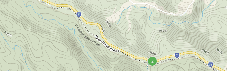
The locality is located along Mount Nebo Road between The Gap in Brisbane and Mount Nebo.
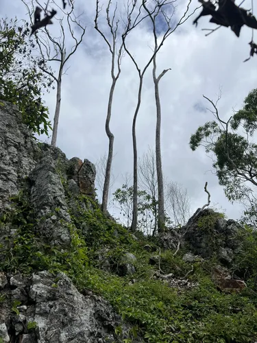
The north-western corner of the locality is within the D'Aguilar National Park, which extends into neighbouring Enoggera Reservoir and beyond. Apart from the protected area, the rest of the locality is located on the slopes of the Annand Range and has a mix of rural residential properties and undeveloped land. There is a small area of grazing on native vegetation.
History
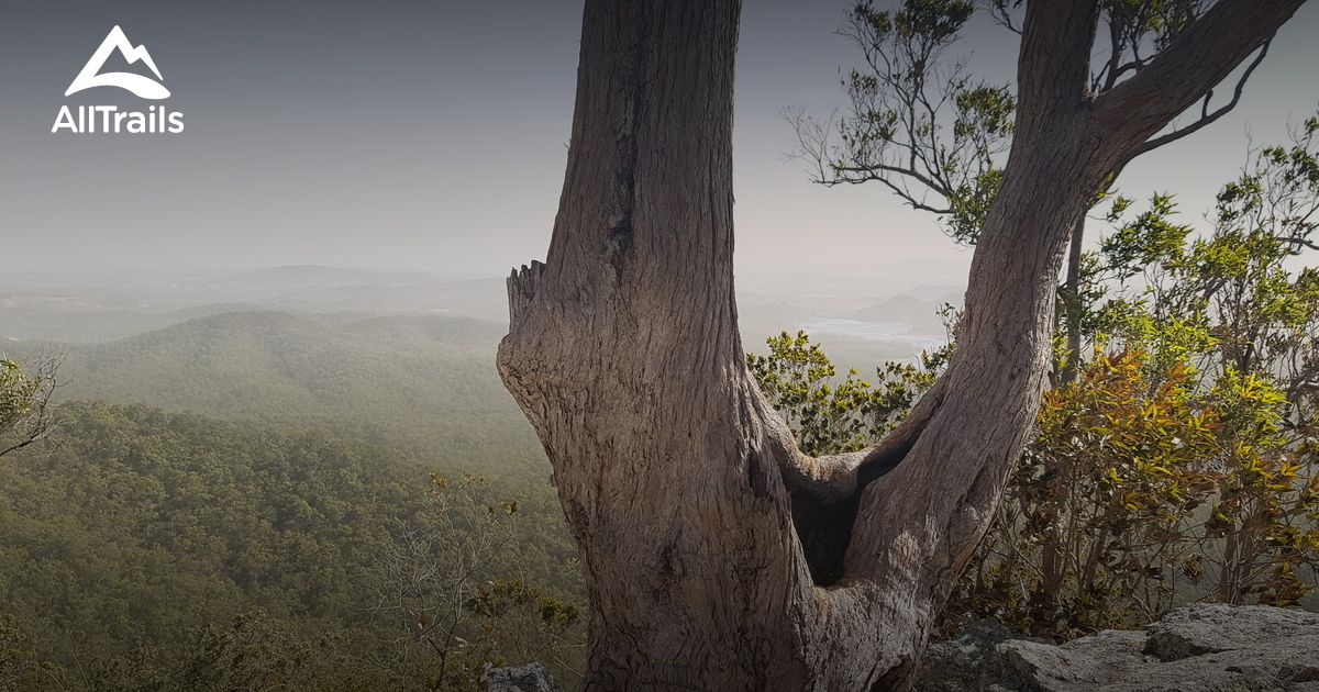
It is named after the popular lookout of the same name, which was named after Brisbane mayor, William Jolly, who visited the lookout about 1927.
Demographics
In the 2016 census, Jollys Lookout had a population of 76 people.
In the 2021 census, Jollys Lookout had a population of 73 people.
Education
There are no schools in the locality. The nearest government primary school is Mount Nebo State School in Mount Nebo to the north-west. The nearest government secondary school is The Gap State High School in The Gap to the south-east.
Amenities
There are a number of parks in the area:
- James Winn Park (27.4090°S 152.8293°E / -27.4090; 152.8293 (James Winn Park))
- Wohlsen Smith Park (27.4179°S 152.8455°E / -27.4179; 152.8455 (Wohlsen Smith Park))
Attractions
The lookout is accessed from Mount Nebo Road (27.3995°S 152.8067°E / -27.3995; 152.8067 (Jollys Lookout)).
References
![Jolly's Lookout, Queensland Australia [OC] [4032x1960] r/ruralporn](https://preview.redd.it/hsya3e0v3ir71.jpg?auto=webp&s=af4c66e6ba22afa5da108abadc2d3199d3cb087f)